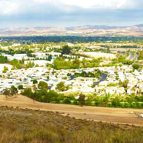
Starting in the mid-1900s, there was a large growth in population in the East County, moving from the San Fernando Valley in Los Angeles and out into the Conejo and Simi Valleys. Part of the Conejo Valley belongs to Los Angeles County. This part consists of Calabasas, Hidden Hills, Agoura Hills, Agoura, and Westlake Village. The other half of the Conejo Valley, which belongs to Ventura County, consists of Lake Sherwood, Hidden Valley, Oak Park, Thousand Oaks, and Newbury Park, which was formerly an unincorporated area that is now the most westerly part of Thousand Oaks.
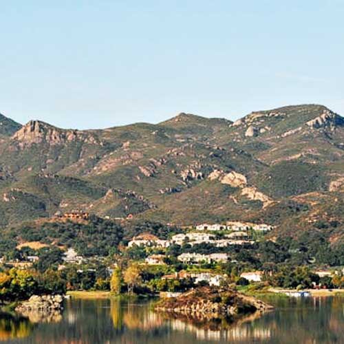
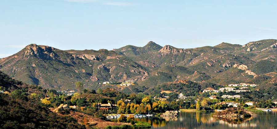
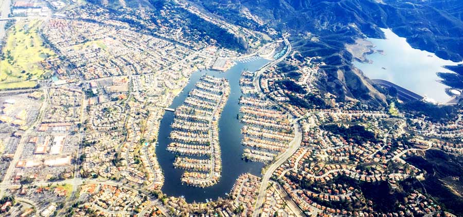
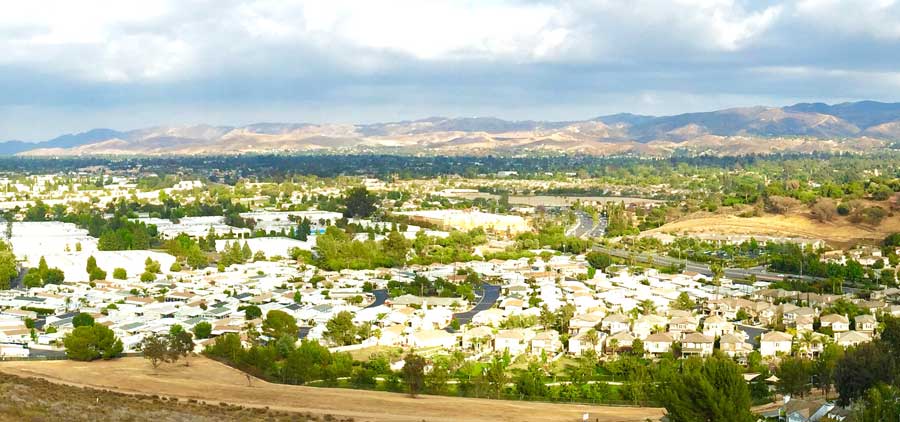
Parts of the county are on the Oxnard Plain which includes the cities of Oxnard, Camarillo, Port Hueneme and much of Ventura. Other cities and communities lie in the intermountain valleys of the Transverse Range. The Santa Clara River Valley is the most prominent valley, while other valleys include Conejo Valley, Simi Valley, Santa Rosa Valley, Tierra Rejada Valley and Las Posas Valley. Other parts of the county are on small coastal mountains, such as the Santa Ynez Mountains, Simi Hills, Santa Monica Mountains and the Piru Mountains. Most of the population of Ventura County lives in the southern portion of the county. The major population centers are the Oxnard Plain and the Simi and Conejo Valleys. In local media, the county is usually split between the eastern portion, generally associated with the San Fernando Valley, and the western portion, often referred to as “Oxnard-Ventura.”
The 2010 United States Census reported that Ventura County had a population of 823,318.
The racial makeup of Ventura County was 565,804 (68.7%) White, 15,163 (1.8%) African American, 8,068 (1.0%) Native American, 55,446 (6.7%) Asian, 1,643 (0.2%) Pacific Islander, 140,253 (17.0%) from other races, and 36,941 (4.5%) from two or more races.
Hispanic or Latino of any race were 331,567 persons (40.3%).
Oxnard Airport, just west of Downtown Oxnard and was Ventura County’s only commercial airport, it now no longer takes public flights. It is also the county’s largest airport.
Camarillo Airport, formerly a US Air Force Base, is a general aviation airport located south of the City of Camarillo. It is the current base of operations of the Ventura County Sheriff’s Department Aviation Unit and the home of the VCSD’s Training Facility and Academy, the Ventura County Criminal Justice Training Center. The Camarillo Airport also serves as the base of operations for the Ventura County Fire Department and facilitates the Oxnard College Regional Fire Academy and the Ventura County Reserve Officers Training Center.
Santa Paula Airport is a privately owned airport; however, it is open to the public for general aviation.
Ventura County is served by Amtrak and Metrolink trains along the main coast rail line, as well as Greyhound Lines, Gold Coast Transit (formerly South Coast Area Transit), and VISTA buses. The cities of Camarillo, Moorpark, Simi Valley and Thousand Oaks have their own small bus systems.
Park authorized commercial service operators provide access to the five islands of Channel Islands National Park.
Park authorized commercial service operators provide access to the five islands of Channel Islands National Park.